Sverdrup Research Station

Station name and owner
The Sverdrup Research Station is owned and managed by the Norwegian Polar Institute.
Location
The Sverdrup Research Station is located in the research village Ny-Ålesund on the northern side of Brøgger Peninsula at the southern shore of Kongsfjorden, Svalbard. The infrastructure in Ny-Ålesund is run by the Kings Bay Company. The town hosts many national research stations, and the Sverdrup Research Station is the main Norwegian station in Ny-Ålesund. The nearest civilian settlement is Longyearbyen, 100 km south of Ny-Ålesund.
Climate data
Grey colours are WMO Climate Normals including maximum and minimum values. Blue colours are individual years.
Climate data for the stations where extracted via Copernicus Climate Data Store, from the global gridded reanalysis product:
ERA5 monthly averaged data on single levels from 1940 to present.
Description and source code: Roemer J.K. 2023. https://doi.org/10.5281/zenodo.10214922
Data Source: Hersbach et al. 2023. Copernicus Climate Change Service (C3S) Climate Data Store (CDS), https://doi.org/10.24381/cds.f17050d7
Biodiversity and natural environment
Ny-Ålesund is surrounded by arctic tundra and river plains, while the mountains in the inner part of the Brøgger Peninsula have many small glaciers. Large glacier tongues flow into Kongsfjorden on the eastern and northern side of the fjord. Most of the birds living in Svalbard are breeding on small islands or on bird cliffs in Kongsfjorden. Reindeer and foxes are common visitors in Ny-Ålesund. Seals are often seen close to the settlement, and sometimes also walrus and beluga occur.
History and facilities
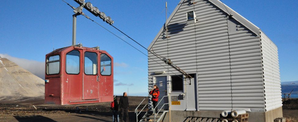
Ny-Ålesund was a mining town until the 1960s. After the mining was stopped, Ny-Ålesund started to develop into a research town, beginning with the Norwegian Polar Institute establishment of a permanent research station in 1968. Today, 10 nations have stations in Ny-Ålesund, and scientists from many more nations visit Ny-Ålesund to conduct research. The Sverdrup Research Station hosts Norwegian projects and research groups from nations without their own station in Ny-Ålesund. The station provides logistical support (snowmobiles, boats, and equipment), workshops, office facilities, and field storage, while laboratory space is available through the Kings Bay Marine Laboratory. One of the main activities of the Norwegian Polar Institute is to run the Zeppelin Observatory (which is on top of the Zeppelin Mountain (475 m a.s.l.) and accessible by cable car) for long-term atmospheric monitoring. Up to 25 people can be accommodated at Sverdrup Station in the summer peak season.
General research and databases
Ny-Ålesund and its area is ideal for research and monitoring of contemporary environmental changes related to Climate Change issues, long range transport of pollutants, UV-radiation and related biological effects, physiology, eco-toxicology, arctic marine and terrestrial ecosystems, as well as other research disciplines. To release the full potential of the various activities from the 10 research stations in Ny-Ålesund, the stations have implemented four flagship programmes focusing on marine, terrestrial, atmospheric, and glaciological research.
Station Monitoring
Human dimension
The research village Ny-Ålesund is in general only accessible for researchers. During the peak season (July-August), 150-180 persons stay in Ny-Ålesund, but the number drops drastically to 40-60 people in spring and autumn. Only the permanent staff (30-40 people) is present during the winter months. Today, Ny-Ålesund includes Svalbard’s largest collection of automatically protected cultural monuments and is one of the archipelago’s highly prioritised cultural environments.
Access
Longyearbyen can be reached by commercial aircrafts. From there an air shuttle service twice a week connects Longyearbyen with Ny-Ålesund. The flight takes c. 25 minutes with 14-17 persons per flight. A limited number of researchers arrive by ship, but there is no regular ship transport to Ny-Ålesund, except one monthly freight ship during the summer.